|
[click
image to view clip]
|
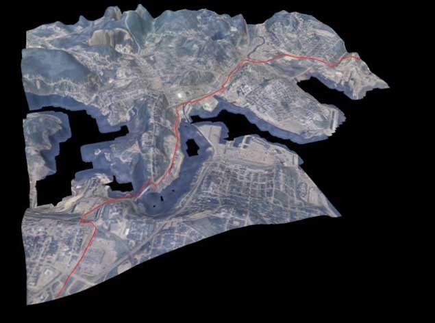
Topographical
representation of Sydney, mapped onto a low-res terrain
texture also of Sydney.
|
|
[click
image to view clip]
|
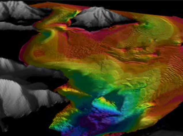
Hi-res
3D data set of the San Francisco Bay area, with visible land
formations above sea level represented in grayscale. |
|
[click
image to view clip]
|
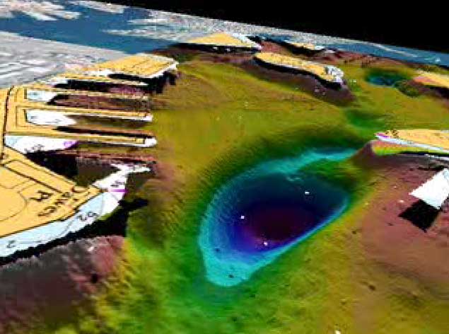
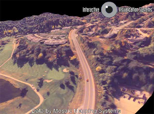
Topographical
representation of a fly through the Pipeline mapped with a
simple low-res texture. |
|
[click
image to view clip]
|
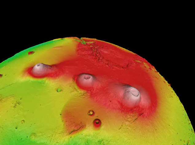
3D
data set representation of Mars, a full 360' degree perspective
and an in depth fly through of mars' terrain textures |
|
[click
image to view clip]
|
Topographical
representation of a drive through various rocky terrains,
hills and mountains. |


 ghh
ghh